Description
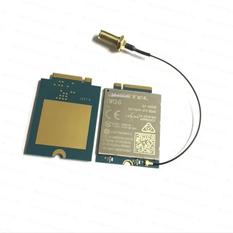
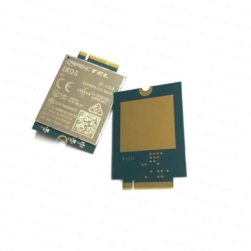
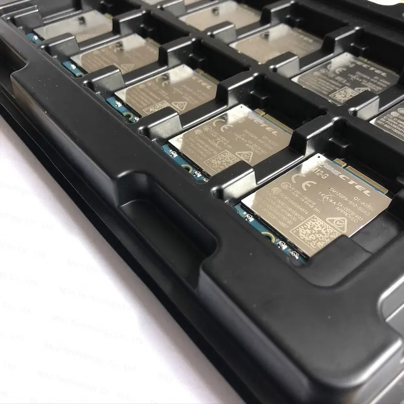
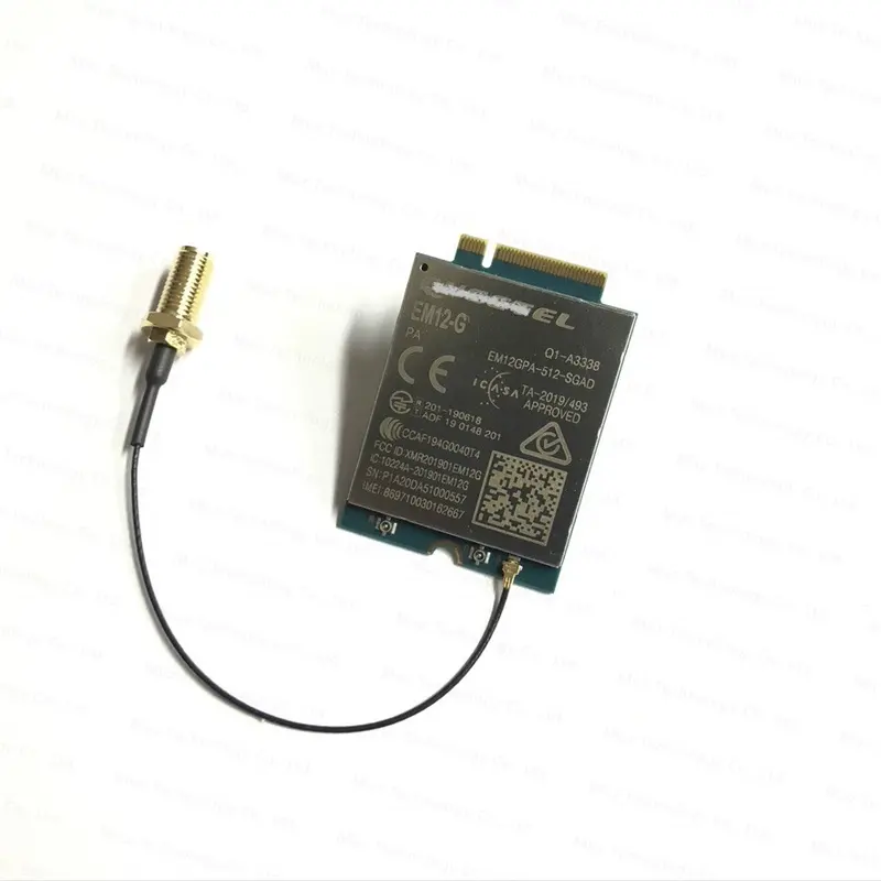
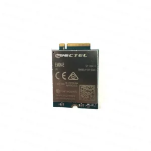
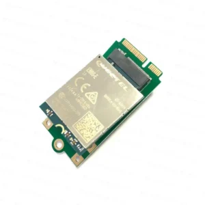
The EM12-G is an LTE Cat 12 module optimized specially for M2M and IoT applications. Adopting the 3GPP Release 12 specification which delivers peak data speeds of 600Mbps downlink and 150Mbps uplink. Designed in an M.2 form factor, the EM12-G is compatible with Quectel’s category 6 module EM06 and future category 16 module EM16 to enable migration between different categories. EM12-G is designed for global and nearly covers all the main stream carriers worldwide.
The EM12-G supports Qualcomm IZat location technology Gen9HT Lite (GPS, GLONASS, BeiDou, Galileo) and the optional multi-constellation GNSS receiver greatly simplifies product design and provides quicker, more accurate and more dependable positioning capability.
Model Name | EM12-G | |
UE-Category | CAT12 | |
Dimensions | 42.0mm × 30.0mm × 2.3mm | |
Form Factor(Package) | M.2 | |
Frequency Bands | LTE-FDD | B1/B2/B3/B4/B5/B7/B8/B9/B12/B13/B14/B17/B18/B19/B20/B21/B25/B26/B28/B29 / B30/B32 /B66 |
LTE-TDD | B38/B39/B40/B41 | |
WCDMA | WCDMA: B1/B2/B3/B4/B5/B8/B9/B19 | |
GNSS | GPS/GLONASS/BeiDou/Galileo/QZSS | |
Supply Voltage | 3.135–4.4 V, typ. 3.7 V | |
Operation temperature | -30 °C to +70 °C-10 °C to +65 °C (Only for UL CA test) | |
Embedded Software | Protocol | QMI/ NTP/ TCP/ UDP/ FTP/ HTTP/ PING/ HTTPS |
Android RIL | Android: 4.x/5.x/6.x/7.x/8.x/9.x/10.x | |
USB Driver | Windows: 7/8/8.1/10 Linux: 2.6–5.4 Android: 4.x/5.x/6.x/7.x/8.x/9.x | |
NDIS Driver | Windows: 7/8/8.1/10 | |
Gobinet Driver | Linux: 2.6–5.4 | |
QMI_WWAN Driver | Linux: 3.4–5.4 | |
GNSS Driver | Android: 4.x/5.x/6.x/7.x/8.x/9.x | |
Data Transmission | LTE | LTE FDD: Max. 600 Mbps (DL) / Max. 150 Mbps (UL) LTE TDD: Max. 430 Mbps (DL) / Max. 90 Mbps (UL) |
UMTS | DC-HSDPA: Max. 42 Mbps (DL) HSUPA: Max. 5.76 Mbps (UL) WCDMA: Max. 384 kbps (DL/UL) | |
Interfaces | (U)SIM: × 2 I2C: × 1 PCM (Digital Audio): × 1 ANTCTL (Antenna Tuner Control)*: × 4 USB 2.0/USB 3.0: × 1 W_DISABLE1#: × 1 RESET#: ×1 WAKE_ON_WAN#: × 1 WWAN_LED#: × 1 (high speed UARTs) Antenna: × 3 (Main, Diversity&GNSS, GNSS) | |


